 1 hour ago
7
1 hour ago
7
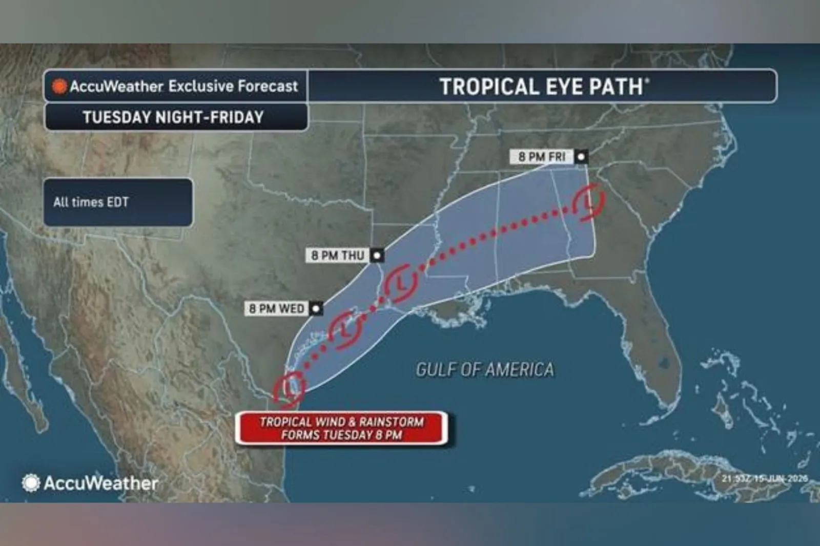
Millions of people across the Gulf Coast and Lower Mississippi Valley face the threat of "life-threatening" flash flooding this week as forecasters monitor a weather system near Texas that could briefly develop into a tropical storm.
The disturbance is currently producing widespread showers and thunderstorms near the Texas-Mexico border, with forecasters warning that tropical moisture could fuel several days of intense rainfall. Should a tropical storm form, the first on the list of names for this year’s season is Arthur.
Forecasters stress that the greatest danger may not be the system's wind strength but the volume of rainfall it delivers. Repeated rounds of tropical downpours could overwhelm drainage systems, trigger dangerous flash flooding and cause rivers to rise rapidly across already saturated areas.
System Near Texas Could Strengthen
In an early-morning update on Tuesday, the National Hurricane Center (NHC) said a trough of low pressure near the Mexico-Texas border was generating a broad area of disorganized showers and thunderstorms.
"The system could reemerge over the northwestern Gulf of America today, and environmental conditions there are expected to be marginally conducive for the formation of a short-lived tropical storm later today or on Wednesday," the NHC said.
"Regardless of tropical cyclone formation, interests across southern and eastern Texas and portions of Louisiana and Mississippi should prepare for periods of intense rainfall over the next several days which could produce widespread, life-threatening flash, urban, and river flooding," said the NHC.
The agency also warned that gusty winds and coastal flooding could affect parts of the northwestern Gulf Coast, with tropical storm watches or warnings possible if development continues.
Why Forecasters Are Most Concerned About Flooding
In an email sent to Newsweek on Monday, forecasters at AccuWeather warned that a "tropical rainstorm" could form on Tuesday. The outlet said the term brings "additional attention to tropical systems that may not officially receive a name but pose a flooding risk."
"This week is especially concerning due to repeated rounds of torrential rain fueled by tropical moisture and perhaps a tropical rainstorm," said Dan DePodwin, AccuWeather's vice president of forecasting operations, warning that similar setups have historically produced major flash flooding events.
Which Areas Face the Greatest Risk?
AccuWeather projects the system could spread heavy rain from eastern Mexico through Texas and parts of the Gulf Coast before tracking northeastward later this week.
Rainfall rates could reach 2 to 4 inches per hour in the strongest storms, increasing the risk of rapidly rising water, particularly in urban areas such as Houston.

Could It Become Tropical Storm Arthur?
As of Tuesday morning, flood watches from the National Weather Service are in place across southern and southeastern Texas, much of Louisiana, and roughly the southern half of Mississippi.
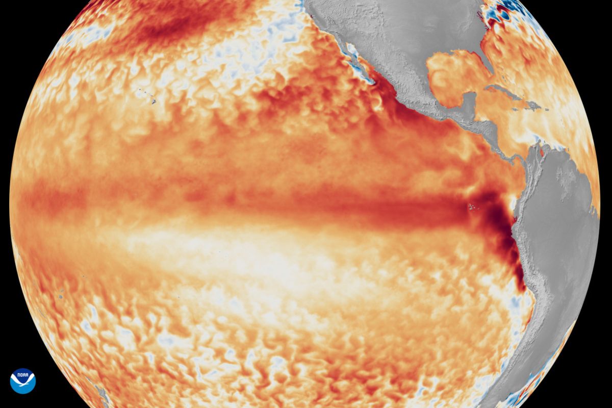
The Atlantic hurricane season officially began on June 1 and runs through November.
Overall this year, the National Oceanic and Atmospheric Administration predicts a below-normal Atlantic hurricane season, forecasting a total of eight to 14 named storms.
The NHC continues to monitor the disturbance and is expected to provide regular updates as the system develops via its website.